


 Transportation
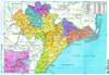
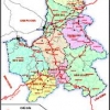
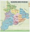
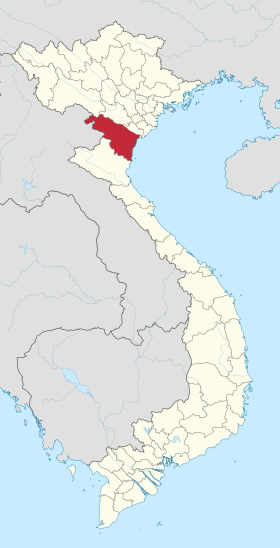
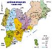
There are roadway and waterway in Soc Trang. Roads passing Soc Trang province include National Road 1A, National Road 60, South Hau river national road, Quan Lo – Phung Hiep route. These are key traffic lines connecting Soc Trang to other cities and provinces in Mekong Delta. Soc Trang has 72 km coastal line, Hau river with three river mouths in Dinh An, Tran De and My Thanh, and many channels to form a convenient waterway system. The Tran De port has capacity of 240,000 ton/year.
In recent years Soc Trang province's economy has grown continuously. Total GDP of the province increases averagely 11.33% per year. Economic struture has shifted toward gradually increasing the ratio of industry and service sector and decreasing the ratio of agriculture sector. According to the development plan of socio – economy of Soc Trang province for the period 2010 – 2015, the province sets its targets to reach an average annual growth rate of 12 – 13%; GDP per capita in 2015 of over 1,800 USD; whereas, speeding the capital mobilization to invest in the development of infrastructure works such as transportation, electriccity, port, telecommunication system, ect.
Northern Key Economic Zone
-
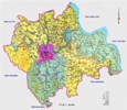
 Ha Noi Capital
14 industrial parks -
 Vinh Phuc Province
6 industrial parks -
 Quang Ninh Province
4 industrial parks -
 Bac Ninh Province
15 industrial parks -
 Hai Phong City
5 industrial parks -
 Hung Yen Province
5 industrial parks -
 Hai Duong Province
11 industrial parks -
 Hà Nam
2 industrial parks -
 Bac Giang
1 industrial parks -
 Nam Định
2 industrial parks
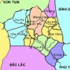
Central Key Economic Zone
-
 Da Nang City
6 industrial parks -
 Thua Thien Hue Province
4 industrial parks -
 Khanh Hoa Province
5 industrial parks -
 Quang Ngai Province
6 industrial parks -
 Quang Nam Province
9 industrial parks -
 Binh Dinh Province
7 industrial parks -
 Phu Yen Province
4 industrial parks -
 Gia Lai
1 industrial parks -
 ĐĂK NÔNG
1 industrial parks -
 ĐĂK LĂK
1 industrial parks -
 KON TUM
0 industrial parks -
 Thanh Hoá
1 industrial parks
Southern Key Economic Zone
-
 Binh Thuan Province
6 industrial parks -
 Ho Chi Minh City
22 industrial parks -
 Dong Nai Province
31 industrial parks -
 Binh Duong Province
28 industrial parks -
 Long An
36 industrial parks -
 Ba Ria-Vung Tau Province
11 industrial parks -
 Tay Ninh Province
4 industrial parks -
 Tien Giang Province
5 industrial parks -
Binh Phuoc Province
7 industrial parks
